How we work
Survey
Know exactly what you have before you decide anything.
Every design, valuation, contract and permit depends on one thing: an accurate record of the building as it actually is. We survey with FJD 3D laser scanning equipment — millions of measured points in a single visit — and turn them into drawings you can rely on.
A short call to understand what you need the survey for — a design, a valuation, a Land Registry plan, a dispute — and how much of the property it has to cover. Surveys are quoted on scope, so we get this right first.
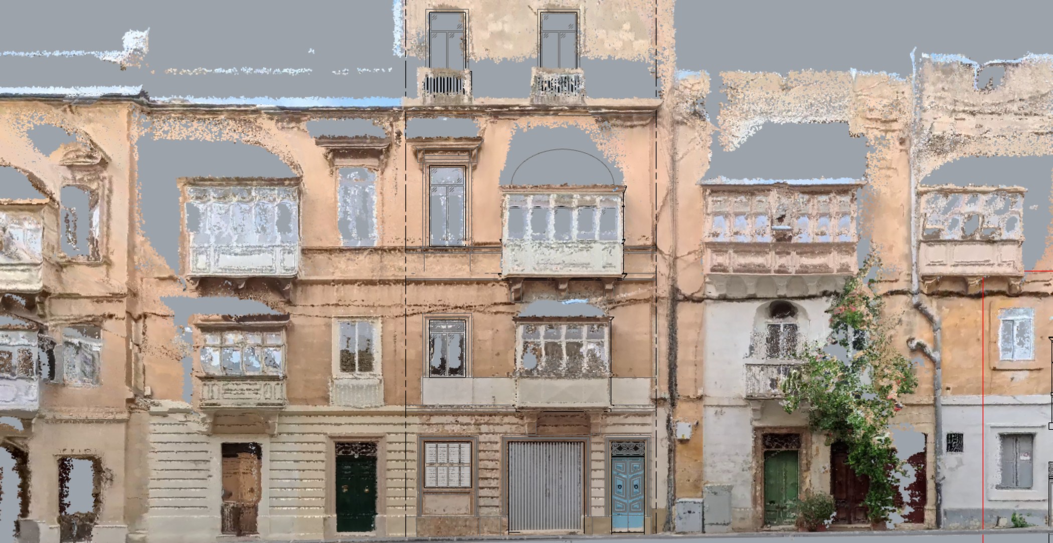
We visit once and scan the whole property with our FJD 3D laser scanner: every room, façade, level and, where relevant, the neighbouring boundaries. Minutes per room rather than hours with a tape, and nothing gets missed.
The scans are registered into a single point cloud — a complete, measurable 3D record of the building accurate to millimetres. This is the master reference every drawing is checked against.
From the point cloud we draw floor plans, sections and elevations at the scale and detail your purpose needs, in DWG and PDF. Areas, heights and levels are taken from measurement, not assumption.
You receive the drawing set, and where useful the point cloud itself or a 3D model — ready to hand to a designer, a valuer, a notary or a court.
An accurate survey pays for itself on the first decision it informs: a design that fits, a valuation that stands, a plan a notary accepts, a permit application that isn't returned for corrections.